Saguaro National Park is located in Tucson, Arizona approximately 2 hours south of Phoenix. It is divided into two sections, the Tucson Mountain District (or West) and the Rincon Mountain District (or East). They are located on either side of Tucson, approximately 30 minutes apart. Each park offers scenic drives, the West side has a 6 mile unpaved loop (it is bumpy in places but rental cars are allowed to drive it) while the East side has a paved 8 mile loop. Both districts also have scenic vistas and hiking trails, with the East offering more trails, but the West offering a more dense population of saguaro cacti. I decided on visiting the West because I wanted to see the concentration of saguaro cacti and because the West is more popular and I was traveling alone and prefer to hike in places where other hikers are within hearing distance when I am by myself.
The drive from Phoenix to the park was straightforward. The park’s website is a great resource. Here is a link that will allow you to choose maps and driving directions for each park. My plan for the day was to drive the scenic loop, stopping at the pull outs to take pictures and taking the Desert Discovery Nature Trail, the Valley View Overlook Trail and the Signal Hill Trail.
Desert Discovery Nature Trail
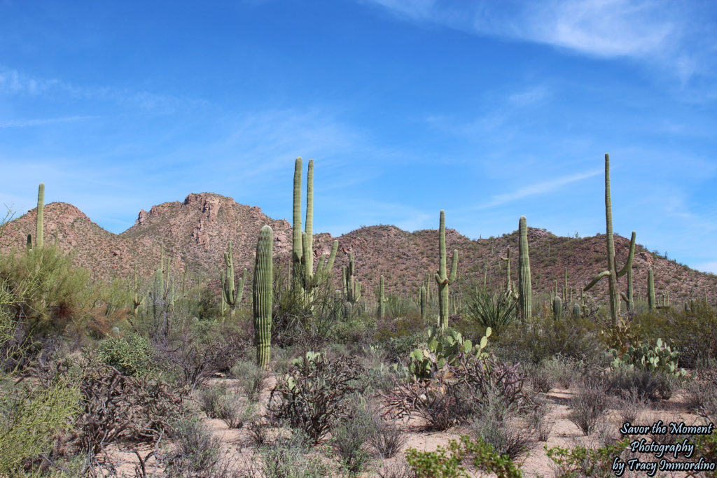
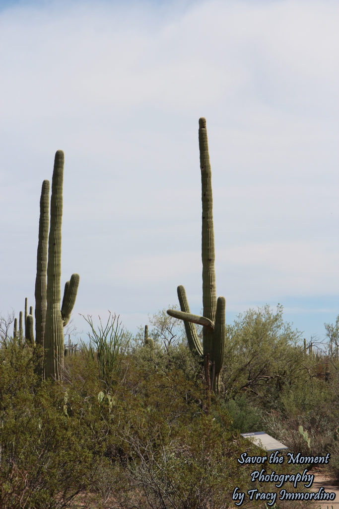
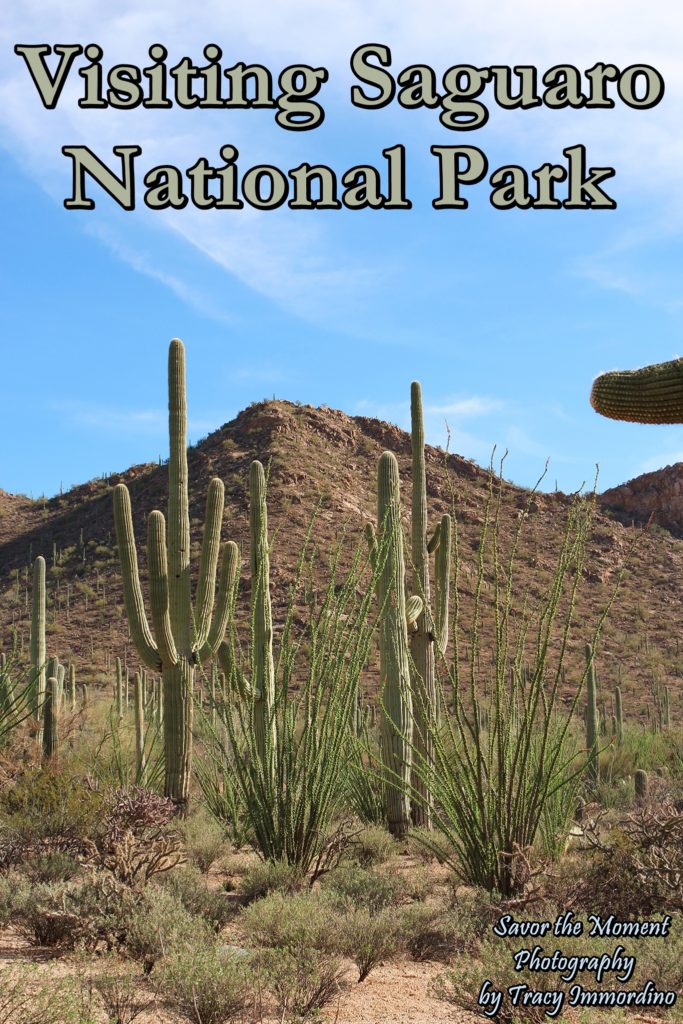
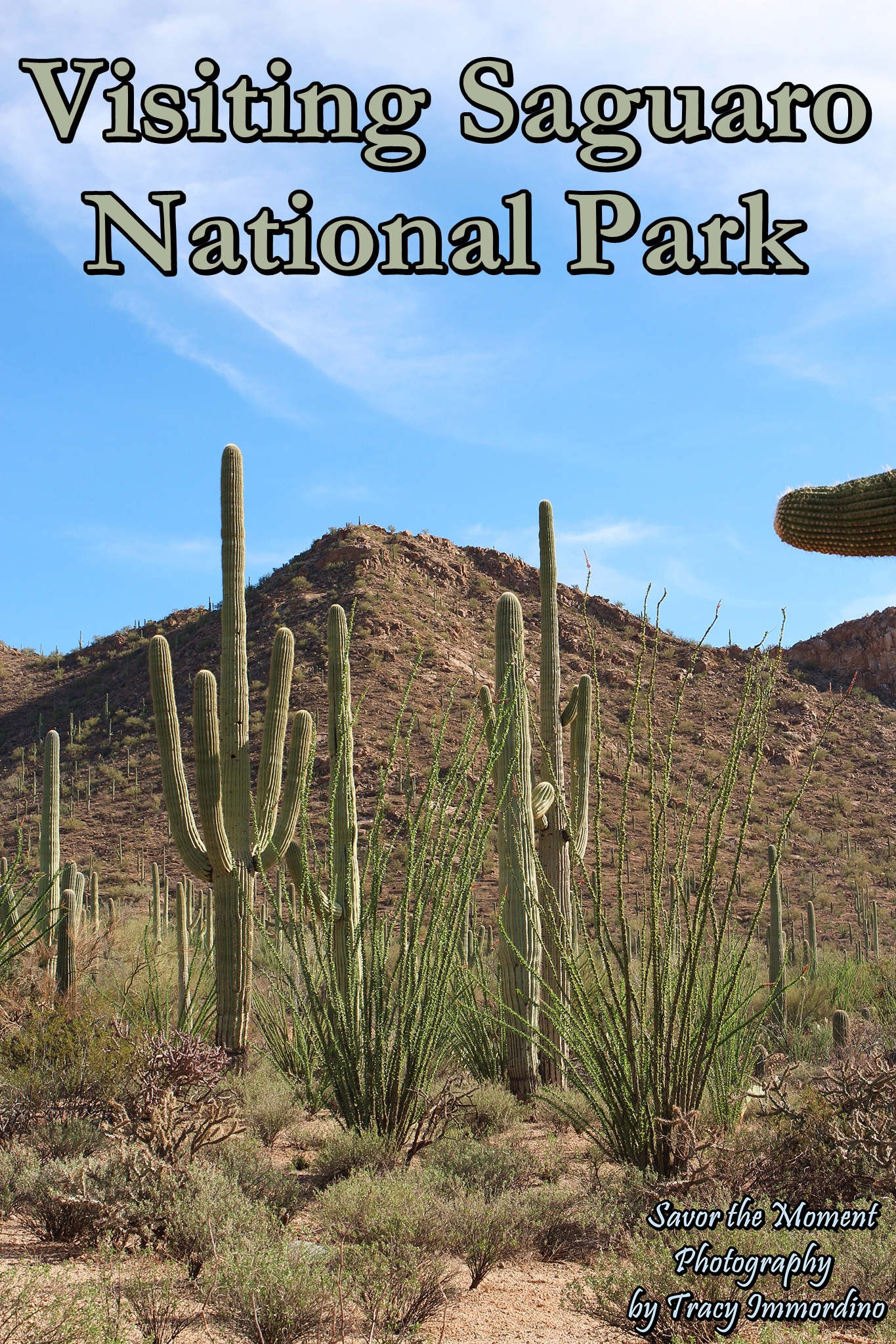
My first stop was the Desert Discovery Nature Trail, which is located on Kinney Road and is not part of the scenic loop. The trail is only .5 mile and is a paved loop. I was happy there was another couple hiking the trail because I did have the idea of snakes in the back of my mind which I was, for the most part, doing a good job ignoring. Of course, I also had the idea of killer bees, gila monsters and mountain lions because I felt compelled to read all the safety warnings issued on their website of all the potential things that could cause me harm. I’m including the link here because it also tells you what to do should you encounter any of the above mentioned wildlife. I have to admit, mountain lions threw me, but they are seen exceedingly rarely and most sightings are on the East side, in the more mountainous areas of the park. The only wildlife I spotted here were birds and some rodents which needlessly scared me and sent me running on several occasions, as I could hear something rustling in the bushes, but could not see what it was. Other than the few times I started running down the path to get away from rustling bushes, I thoroughly enjoyed the trail. The different shapes of all the saguaros were entertaining me, as some of them had the funniest shapes. I loved the tall one, to the right in the photo above, it looked to me like it was trying to run away from something. It reminded me of myself on the trail every time I heard a sound. If there were a cactus named Tracy in the park, that would be it.
Saguaro National Park – West
This one entertained me as well. Although the trail was short, and there were several man made shade structures, it seemed longer than .5 miles due to the heat. It was in the upper 80’s when I was there, and beyond the man-made structures, there is no shade. For me, hiking here in the summer would be out of the question. I brought water with me on every trail, even though they were short, and drank a small bottle on each trail. Water is an absolute must. Sunscreen is obviously a very good idea, as is wearing shoes or hiking boots. There are a lot of cacti with long, sharp spines lining the trails. Having one go through your sandals would not be a pleasant experience.
My second stop was the Red Hills Visitor Center, which is opened year round (closed on Christmas Day), from 9-5. The center has water, bathrooms, a gift shop, park rangers and free maps of the park. It is here that you pay your park fee of $15/car. The park rangers offer a variety of programs, which are listed on their website. There are two trails located at the Visitor Center.
Red Hills Visitor Center
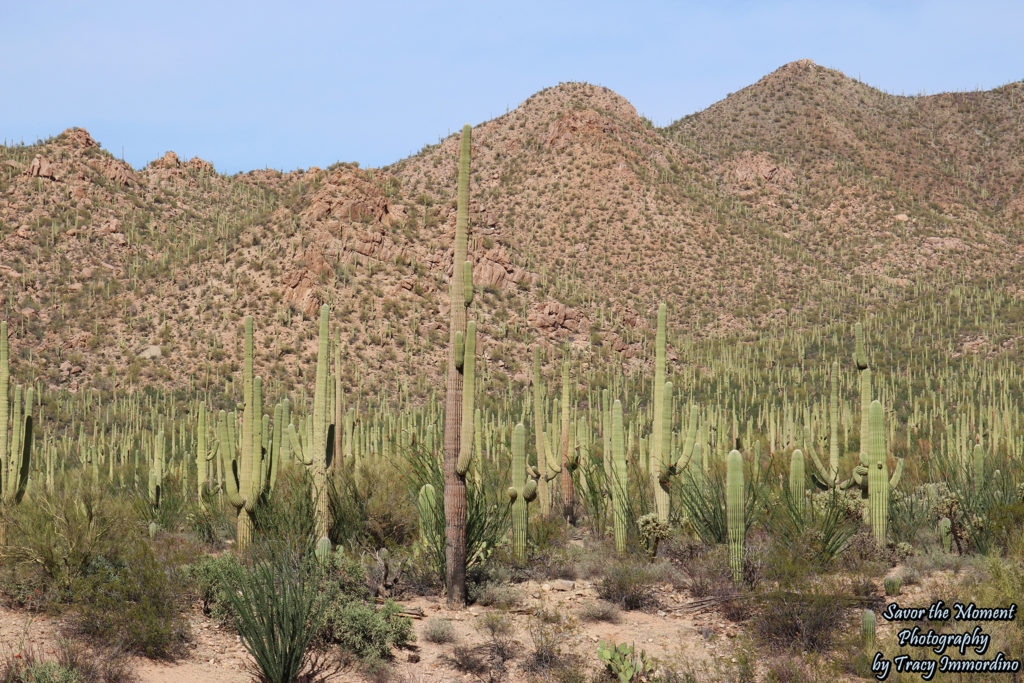
This is the view that will greet you behind the visitor’s center. It was like being in a cacti forest.
Cactus Garden Trail
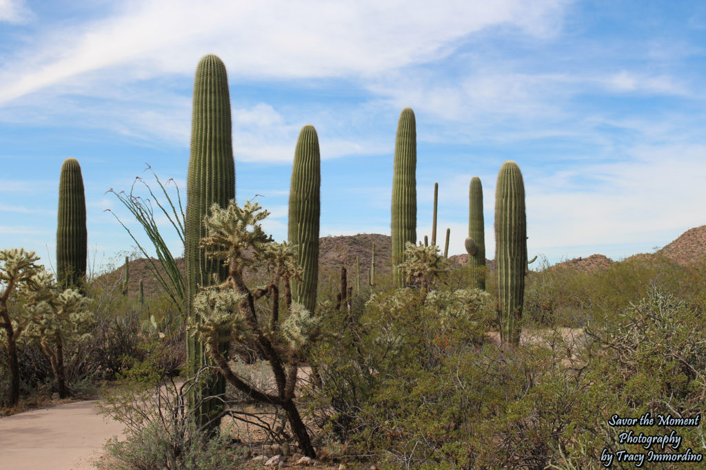
This short, paved, loop is to the left of the visitor center, adjacent to the parking lot. Next, I saw a sign for the Javelina Wash Trail, which is only 600 feet long and runs behind the visitor center. I decided to go take a look.
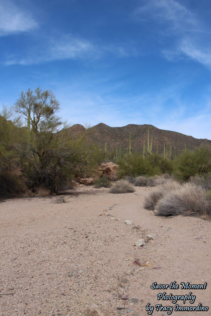
Javelina Wash Trail
I walked half of the trail and then I turned back because I couldn’t get this warning sign out of my head and I was certain there were snakes hiding in the crevices of the sand banks.
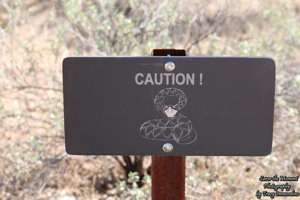
Watch Where You Step!
Just looking at the sign freaks me out, so seeing it right before I started on the trail put a damper on my adventurous spirit. I decided to get back in the car and head over to the scenic loop.
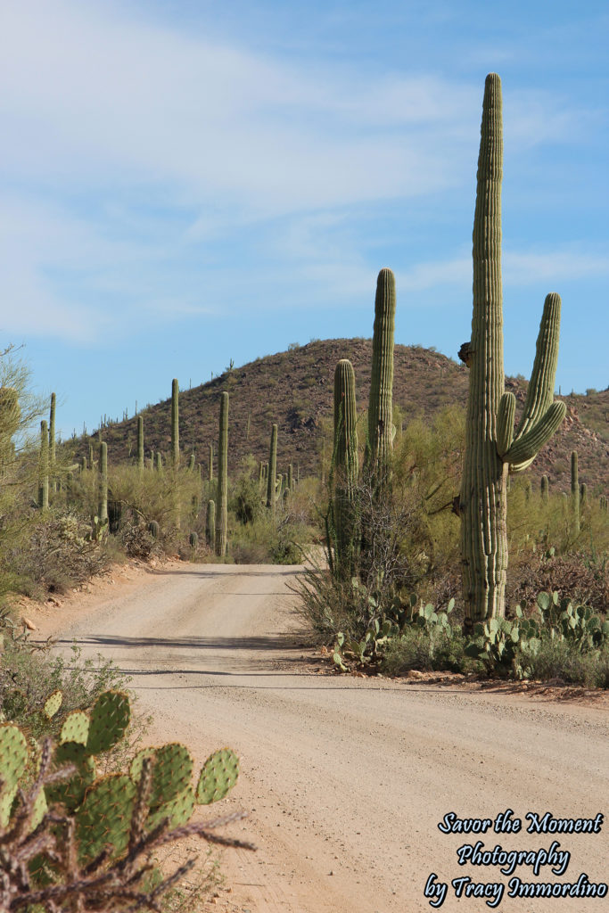
Bajada Loop Drive
This is near the beginning of the scenic loop. The entire loop is a dirt road, with some areas being bumpier than others. It was surreal driving through this cactus wonderland. I must have said, “Wow!” over one hundred times, frequently stopping when there were no cars behind me, to jump out and snap a few photos. I took over 250 pictures at the park, so many things captured my attention.
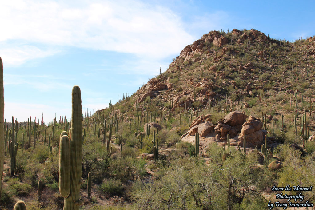
Across from the Hugh Norris Trail Head in Saguaro National Park
One of the longer hikes in the park begins here. I pulled over briefly to take some photos because I loved how the cacti grew right up on the mountains. I briefly followed some women down to another wash trail, but it was not on any of the maps I had seen, so I only went a short distance before I headed back. I ended up crossing many trails that were not listed on the park’s website, which disappointed me, because my son and I had been in Arizona the previous month and decided to go to Boyce Thompson Arbortetum because we thought there would be more to do there. Having been to both, Saguaro National Park wins, hands down.
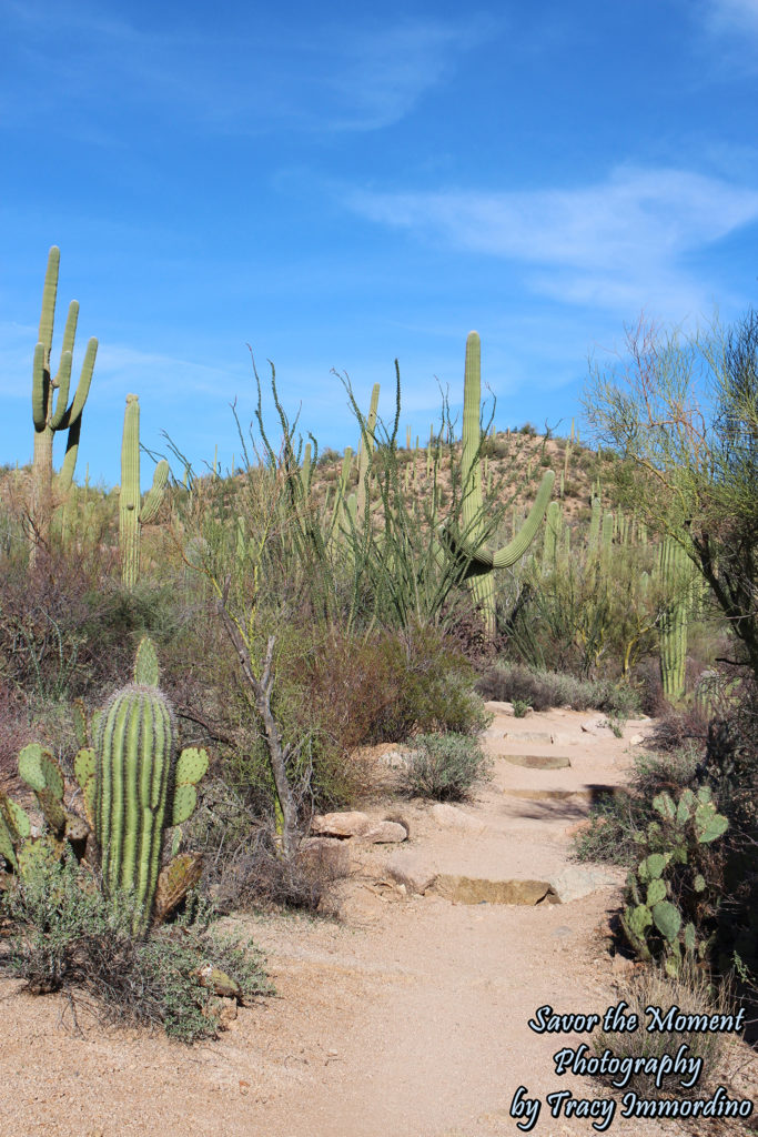
Valley View Overlook Trail
My next stop was the Valley View Overlook Trail. It is .8 miles, there and back, to the scenic overlook. There is some gain in elevation, but it is a gentle incline, as you can see from the photo of the path above. The parking area has enough room for about 8 cars and was pretty full when I was there. In fact, when I was done with my hike, people had started parking alongside the road because the lot was full.
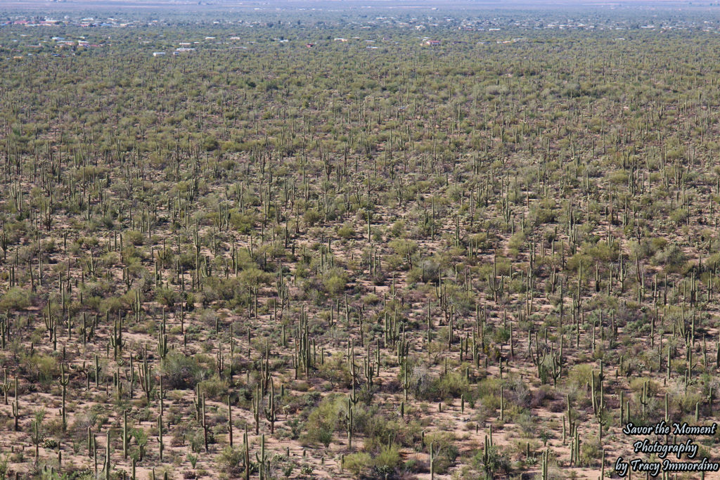
The View from the Valley View Overlook
Again, a delightful cacti forest lay before me. You are looking at Avra Valley from the ridge, which is the end of the Valley View Overlook Trail. There are several benches at the top, to sit and admire the view. Luckily, on the day I was there, there was also a lovely cool breeze at the top of the ridge. I sat for a while enjoying the view and the breeze, snapping more pictures and drinking more water. My final stop was going to be Signal Hill Trail, which has petroglyphs which date from 450-1450. Honestly, I wasn’t all that interested, but I figured since I was here, I should go take a look. Plus the trail was only .3 miles roundtrip….what could go wrong?
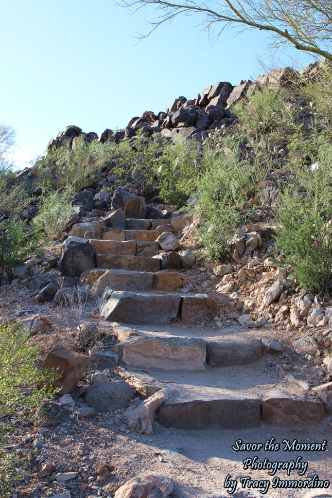
Steps up to Signal Hill
Signal Hill is the most frequented place in the park, it has the largest parking area, easily fitting 20+ cars. The lot was over half full when I arrived. There are also outhouses located at this trail. The trail was so short you could see the hill from the parking lot. As I was walking down stairs, similar to the ones in the photo, I spotted my least favorite animal in the world….a snake…and not just any snake, a rattlesnake. It was lying across the step below the one I was stepping down to. I had no idea that I was capable of running backwards up uneven stairs, but mastery was obtained instantly. Here is the running commentary that was going through my head (minus the profanity). “Oh my God! Look at the shape of its head…it’s a diamond (naughty word). It’s looking at me. Stop looking at me! It’s not rattling…that’s because it’s a baby and baby snakes don’t have rattles….which means it can’t tell me it is going to bite me before it does (another naughty word)….but it’s only a couple feet long and I should be out of strike distance. Don’t fall down! It hasn’t moved at all. Apparently I am the only one terrified in this situation.” It is amazing how this entire conversation happened in my head in the few seconds it took me to back up three steps. As I was trying to calm myself down I saw two women approaching the steps from the bottom and I yelled out, “Ladies! There is a snake!” It was slightly amusing, in that everyone who heard my voice, completely froze…like I pressed the pause button on the tv. One of them yelled back, “Where is it?” I yelled out, “On the steps.” She told me there were another set of steps farther down the trail and I should go that way. We met on the other set of steps and they thanked me and said they were just saying how they needed to stop talking and pay more attention to where they were walking. I said that I thought it was early for the snakes to be out (they bruminate, which is a light form of hibernation, underground from November until March…I thought it was until the end March…it was not) and she smiled and said, “You probably just saw the first one of the season.” Well, unlucky, lucky me.
I was halfway to the hill, so I decided to follow another couple up, giving them about a 10 foot head start. I figured they would have the first encounter if the baby snake had any siblings. That was my strategy for getting up the hill and getting back to the car.
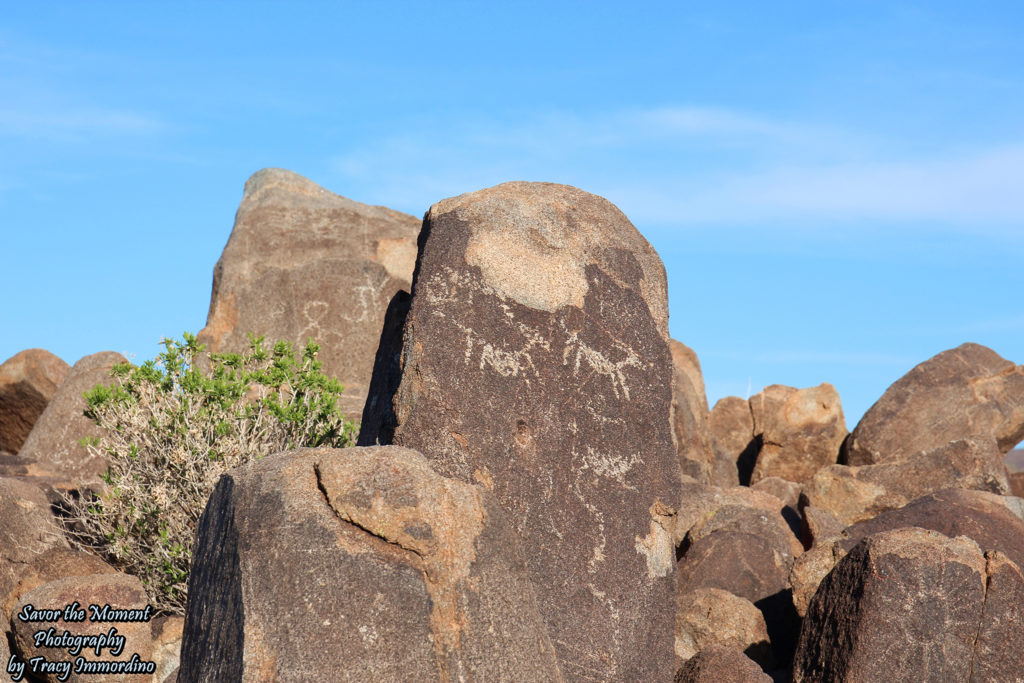
Petroglyphs on Signal Hill
Here they are, totally not worth the snake encounter, in my humble opinion. Archeology just isn’t my thing. If you decide to make the hike up, there are additional rattlesnake territory signs at the bottom of this hill. Of course, my little friend was hanging out before I encountered that warning sign.
At the start of the day, I was considering driving to the East side of the park to do the 8 mile loop. However, I spent much more time (around 5 hours) on the West side than I anticipated. There was much more to see and do than I realized. Plus, the snake had left me weary and wanting to get back to the hotel and have a drink to celebrate my survival. Overall, I thought the park was amazing and I would love to see the East side of park in the future. If you are extremely afraid of snakes, you should visit the park during their bruminating season. You could also stay in the car the entire time and still get a wonderful view of the park. I am not sure how often snakes are spotted at the park. Upon surviving my encounter (the snake would have actually coiled up and hissed at me as a warning if it would have felt threatened by me) I decided to google how many people die of rattlesnake bites in Arizona. I’m not sure why I felt compelled to do this, maybe a morbid sense of curiosity, or wanting to know how close to death I came. The answer was 5, which made me feel much better. Also, on average there are 100 bites over the course of a year, with most bites occurring because the individual purposely provoked the snake or because they stepped on it or reached under a rock where it was resting. So my near death encounter was not as dangerous as it had felt at the time. Of course, because of my weird sense of preparation, I knew what to do should I encounter a snake….leave it alone and get away from it as fast as possible. So, what would I do differently….bring my husband and a gun…kidding….
I hope I haven’t scared you off from visiting the park, it was truly remarkable and I would definitely return. I do recommend having an entire case of water in your car, which I did. I drank 4 bottles during my visit. I would have had to cut my adventures short or drive back to the visitor center to get more water if I had not had so much in the car. My next day was spent at the Desert Botanical Garden in Phoenix, which I had visited before. I was hoping to see more cacti blooming than I had on my previous visit. Here is a peek at my entire Arizona itinerary for this trip. As always, wishing you happy travels and fantastic adventures in this thing called life.
(All pictures are available for purchase as Fine Art Prints or Digital Downloads at full resolution through Alamy. If you see something you like, click on the link. If you are unable to find it, use the Contact Me page and I will make sure the image is available.)
More Arizona Adventures
Ro Ho En ~ Japanese Friendship Garden
Hiking Cathedral Rock in Sedona, Arizona
Pin for later!
Visiting Saguaro National Park
Leave a Reply
You must be logged in to post a comment.